 |
Boundary
County Flood Mitigation Plan
In 2003, Boundary County adopted
the Boundary County Flood Mitigation Plan. This plan was used as a resource in
the All Hazard Mitigation process. The
following information was derived from the flood mitigation plan.
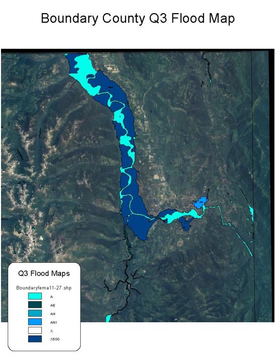
The LEPC identified the
following as highly vulnerable to flood:
·
Neighborhoods:
The Bonners Ferry downtown area including Bonners Ferry City Hall,
Kootenai River Inn and Kootenai Tribal headquarters.
·
Critical Facilities:
Boundary County Sheriff (911 Center and correction facility) and
Courthouse.
·
Critical Transportation:
Burlington Northern Railroad; US Highway 95 is the primary all weather road
crossing for the Kootenai River in Bonners Ferry.
Flooding has historically taken
its toll on the county’s road system. Storm
water issues are a high concern. In
2003, Boundary County completed a county road inventory that was intended to be
used as a planning tool for taking actions to improve the county’s storm water
system and protect the county’s road system.
Boundary County and the
municipalities within the county have spent approximately $10,552,000 to provide
emergency and protective work and to repair public roads, water control systems,
buildings and equipment, public utility systems and other public facilities due
to flooding and landslide events.
Weather and long-term climate
forecasting can help foresee the likelihood of unusual precipitation patterns
and temperature regimes. For this
reason, the Boundary County Local Emergency Planning Committee has worked with
Boundary County to secure two weather stations and two stream gauges on the
county’s most flood-prone tributary, Myrtle Creek.
The City of Bonners Ferry has
installed turbidity monitors that will monitor the Myrtle Creek watershed.
If a high level of sediment is detected then action can be taken.
The Kootenai National Wildlife Refuge has a weather monitoring station with a camera. This weather and camera is real-time and can be viewed via the internet.
|